Location
Western Oklahoma
Client
Investor Owned Utility
Scope
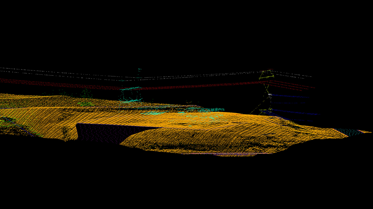
The 1,500 datasets were delivered to the client, who used PLS-CADD and GIS software to perform the engineering analysis for clearances.
Roles
- Aerial Mapping
- Plan and Profile Sheets
