Aerial Mapping & LiDAR
As nationally preferred mapping consultants, our team works hard to ensure we meet your aerial mapping project needs. You have a choice when it comes to collecting geospatial data. Traditional photogrammetry, LiDAR, Unmanned Aerial Systems (UAS), and drone technologies have distinct advantages, but the trick is knowing which is best for your project.


Above all else, safety is our top priority, and it’s a major driving factor in our adoption of the most capable drone technology for data collection. Unpredictable environments, complex terrains, and strict timelines can lead to safety concerns for crews. Using drones to collect LiDAR, high-resolution inspection imagery, video, thermography, traditional photogrammetry, and hyperspectral imaging data maintains safety and maximizes production.
- Traditional Photogrammetry
- UAS/Drones
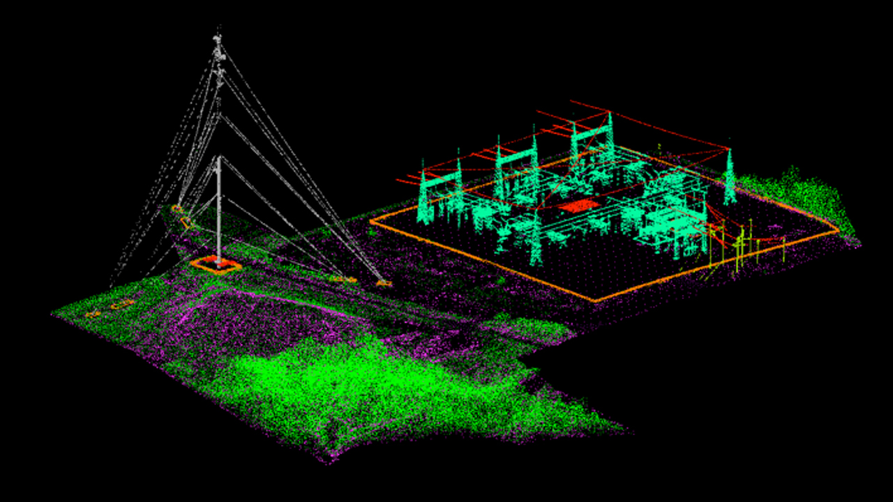
- LiDAR Mapping
- Airborne LiDAR
- Terrestrial LiDAR
- Corridor and Access Selection
- Permitting
- Thermography
- High Voltage Corona Investigation
- Magnetometer
- Profile and Catenary Data in TL-Pro & PLS-CADD
- Inspection and Asset Management
- Orthophotography
- Digital Elevation Models (DEMs)
- Digital Terrain Models (DTMs)
- Virtual Site Visits
- Contour Maps
- Point Clouds
- Aerial Magnetometry
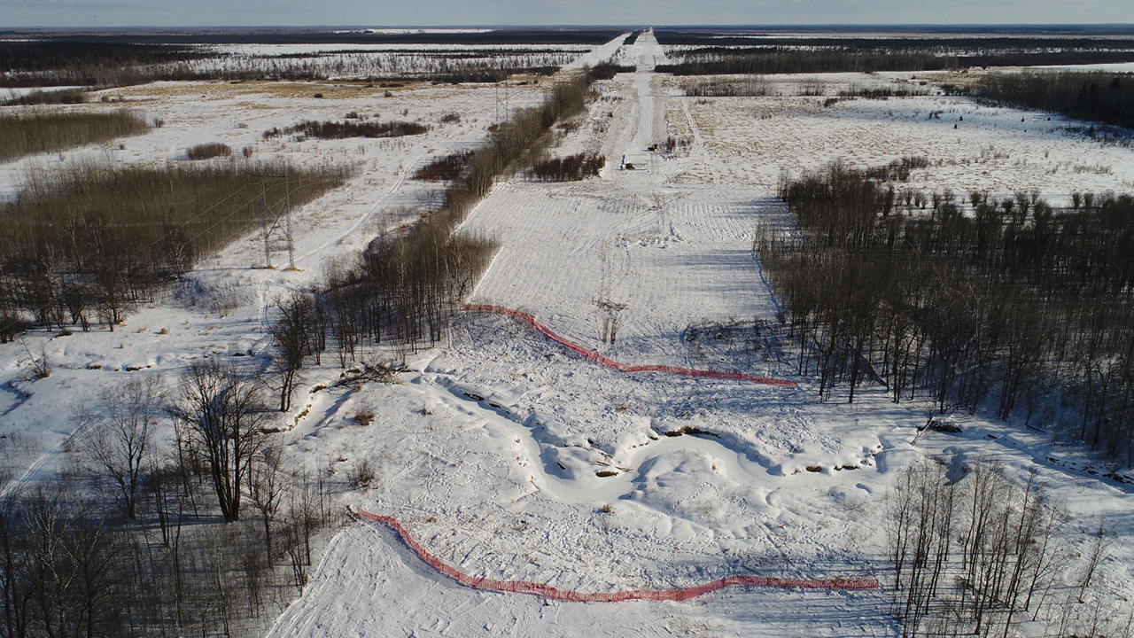
Minnesota
Client: POWER Engineers
Scope: 225-mile, 500-kV transmission line and two substations

Mesa, Arizona
Client: DMB Mesa Proving Grounds, LLC
Scope: 3,200-acre master-planned community
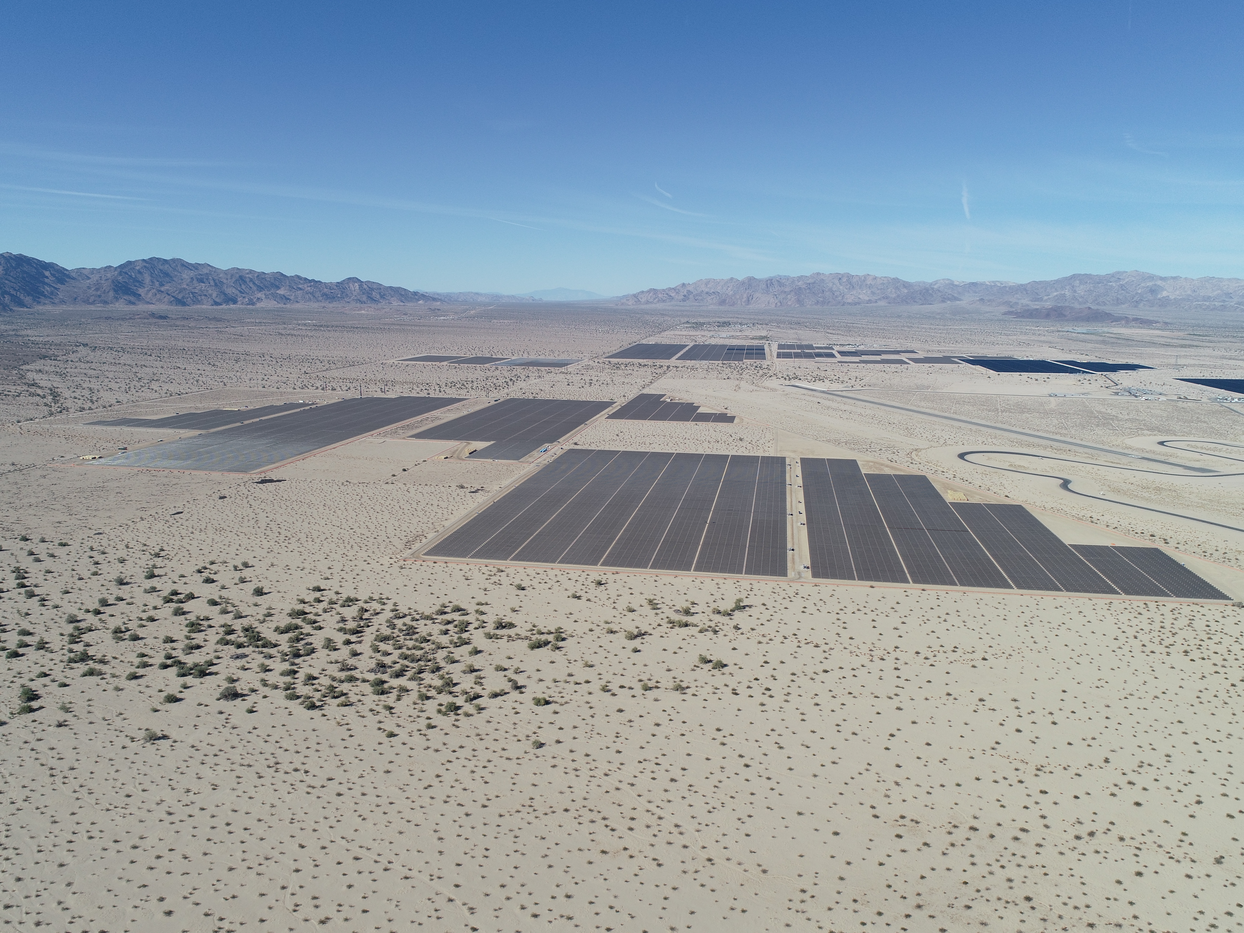
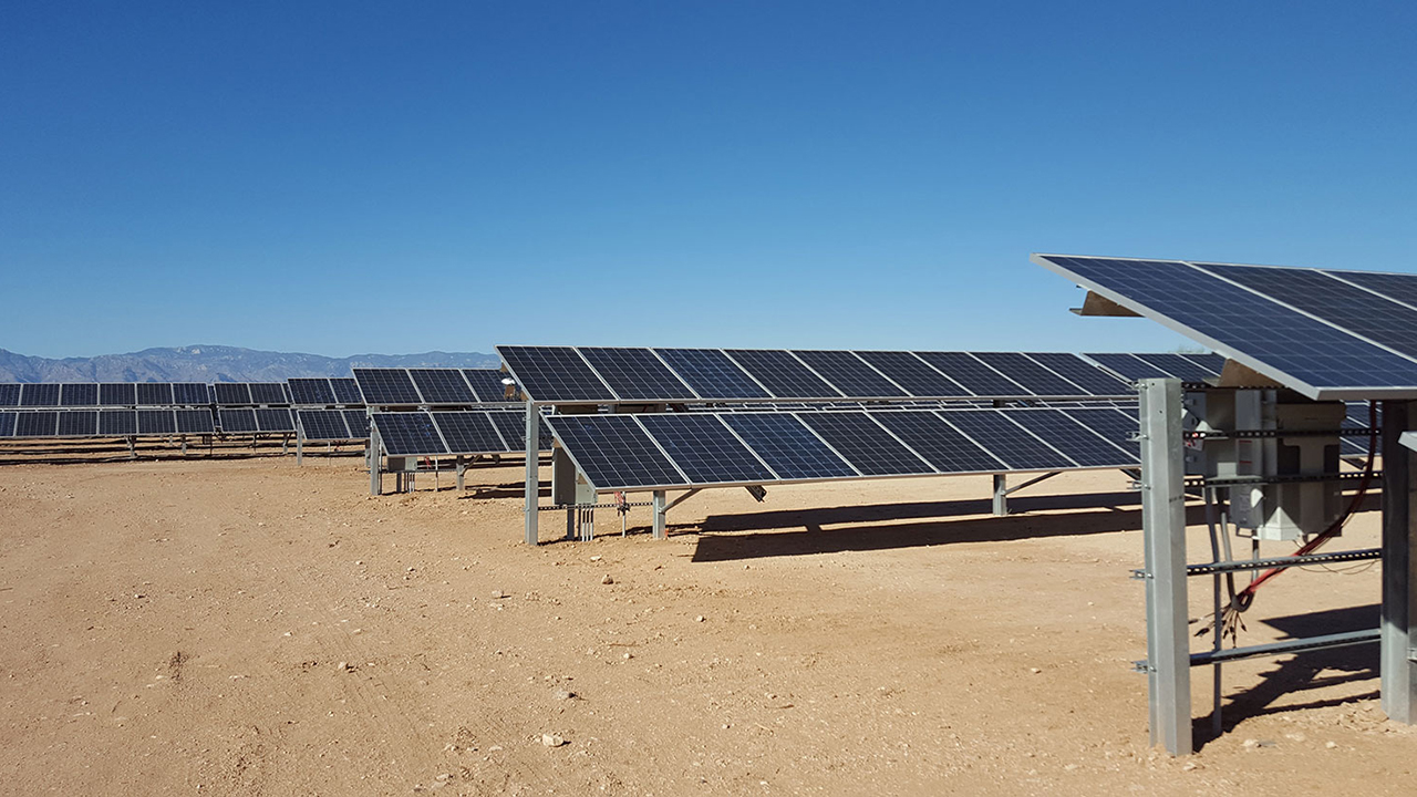
Desert Center, CA
Client: SB Energy, Intersect Power, and Rosendin Electric
Scope: 5-square miles of 450 MW of solar
Missouri, Nebraska
Client: Kansas City Power and Light and HDR Engineering
Scope: 345 kV transmission line
Benton County, WA
Client: Scout Clean Energy
Scope: 1,150 MW wind, solar, and battery storage
We handle a lot more than what is listed here. Check out our portfolio of work across multiple markets spanning the nation. Don't see something similar to what you need? We love challenges that push us to innovate.
